Alternate Names
Dienerheim
Gallery
Church
There was not a church in Dienerheim.
Type of Settlement
History
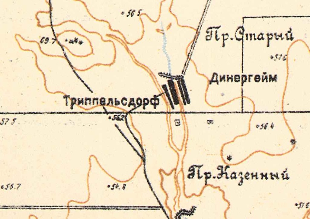
Dienerheim was located 15 kilometers east-northeast of the railroad station at Gmelinskaya on the Wiesenseite. It was not an official daughter colony, but a khutor (farmstead).
Directly to the west, across a little creek was the khutor of Trippelsdorf .
Population
|
Year
|
Households
|
Population
|
||
|---|---|---|---|---|
|
Total
|
Male
|
Female
|
||
| 1897 |
|
|
|
|
| 1910 |
|
|
|
|
| 1920 |
23*
|
161
|
|
|
| 1924 |
|
|
|
|
| 1926 |
28
|
180
|
90
|
90
|
| 1931 |
|
|
|
|
*Of which 22 households were German.
Sources
Diesendorf, V.F. Die Deutschen Russlands : Siedlungen und Siedlungsgebiete : Lexicon . Moscow, 2006.
Preliminary Results of the Soviet Census of 1926 on the Volga German Autonomous Soviet Socialist Republic (Pokrovsk, 1927): 28-83.
wolgadeutsche.net
